The Strait of Otranto
The shortest sea between the Adriatic and the Ionian, and the corridor that has oriented both coasts since before any written record
- Entry
- A.1
- Where
- Cape Otranto to Sazan
- Period
- Prehistory onward
- Section
- The Strait
01The geometry of the crossing
At its narrowest, the Strait of Otranto is roughly seventy-two kilometres wide. That figure has decided an enormous amount. It is narrow enough for a loaded merchant vessel to cross in a single day under reasonable conditions, narrow enough for signal fires to be seen coast to coast in clear air, and narrow enough — crucially — that neither shore has ever been able to ignore the other. The strait sits between the heel of Italy, where the Salentine peninsula ends at Cape Otranto, and the Albanian coast near Sazan Island, where the bay of Vlorë opens northward. South of the line, the water deepens quickly into the Ionian Sea. North of it, the Adriatic narrows and shallows as it runs toward Venice.
The channel is not just a gap between two landmasses. It is a funnel. Everything leaving the Adriatic must pass through it, and everything entering the Adriatic from the Mediterranean must come through the same neck. That constriction shaped trade patterns, military logistics, and colonisation routes over several millennia. The Corinthians who established colonies on the Albanian coast in the seventh and sixth centuries BCE, the Romans who needed grain and timber from Epirus, the Venetians who built a maritime empire on Adriatic commerce — all of them oriented their activity to this passage. The strait was not incidental to their strategies; it was the hinge on which those strategies turned.
02What the width actually does
Seventy-two kilometres sounds reassuring, but the strait is not a gentle channel. The bora — a cold north-easterly katabatic wind — accelerates as it descends from the Dinaric ranges and hits open water with little fetch to diffuse it. The sirocco runs the opposite way, drawing moisture off the North African desert and arriving on both coasts laden with humidity and fine dust. When these winds are active, the strait becomes genuinely hostile; when the weather is calm and the water glassy, the crossing can feel trivially easy. Experienced mariners read both coasts for cloud formation and wind signs before committing, and that reading has not changed in its essentials across the centuries.
The depth profile matters too. The deepest trench in the strait runs to more than eight hundred metres, which means the sea floor drops away fast from both shores. There is no shallow passage to follow, no chain of intermediate islands to offer shelter. A vessel caught mid-crossing in a deteriorating sea has no choice but to run for one shore or the other. That asymmetry — two close coasts with nothing in between — is part of what makes the crossing so legible in the archive: ships either arrived or they did not, and when they did not, both sides knew quickly.
The visibility factor is more subtle. On clear winter days, with the atmosphere compressed and cold, the mountains of Albania are plainly visible from Puglia. The Ceraunian mountains — the range running roughly parallel to the Albanian coast south of Vlorë — are tall enough to present a clear horizon target for navigation. Medieval and early modern pilots called this shore the Costa d'Albania, and the mountains served as a landfall marker for vessels approaching from the west. Knowing the mountains were there before you could distinguish individual features meant you could judge your position and adjust course accordingly. The strait's width, in other words, was not too wide for visual navigation; it was exactly the right width for it.
03Two coasts that can see each other
The mutual visibility of the two shores has had consequences well beyond navigation. Communities on either side have been aware of each other in an intimate way that communities separated by a wider sea simply are not. Albanian-speaking populations crossed to Calabria and Sicily in the fifteenth century — principally after the death of Gjergj Kastrioti Skënderbeu in 1468 and the subsequent Ottoman consolidation of Albania — and established villages that are still identifiable today. The Piana degli Albanesi in Sicily and the Calabrian communities of the Arbëresh were not founded by people who had lost contact with their origin coast; they were founded by people who could, on a clear day, see where they had come from.
This visibility worked in both directions. The Ottoman expansion to the Albanian coast in the late fifteenth century was visible to Venice and to the Italian states not merely as a political fact reported in dispatches, but as a physical presence across a narrow sea. Fortifications on the Italian side were updated, coastal watch systems extended, and the town of Otranto itself — which was taken and sacked by an Ottoman force in 1480 — became the point of sharpest anxiety. The raid lasted about a year before the Ottomans withdrew, but it fixed the strait's political geography for the next century. Every coastal tower built along the Salentine coast after 1480 was built with the Albanian shore implicitly in mind.
The Venetian position in this geography was paradoxical. Venice maintained Adriatic interests on both shores, held Durrës (Durazzo) for periods, and ran trade through the strait in both directions. The strait was simultaneously the edge of the Adriatic commercial world and the threshold of a wider Mediterranean one. A Venetian merchant galley heading south through the channel was leaving one set of commercial relationships and entering another; the passage through the strait marked the transition.
- Bora
- cold katabatic north-easterly, descending from the Dinaric ranges; accelerates over open water
- Sirocco
- south-easterly, moisture-laden from North Africa; runs the opposite direction through the same channel
- Both winds were read by mariners from cloud and shore conditions before committing to the crossing
04What the strait does not unify
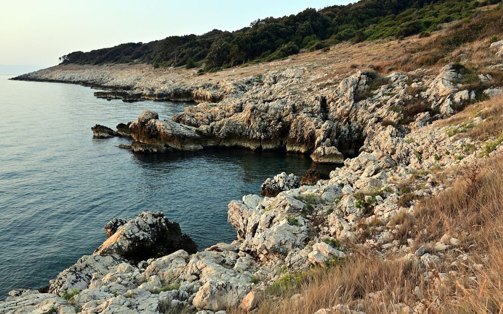
It would be easy to overstate the corridor's integrating function. The two coasts have spoken different languages, been organised under different legal and political systems, and built in different materials. The stone architecture of the Albanian coast — the kulla of the north, the Ottoman-era towns of the interior — has no close parallel in Puglia, where building in the trullo tradition or in the flat-roofed masseria of the Salento reflects different terrain, different timber access, and different social organisation. The strait carries things across; it does not flatten the differences between the shores it connects.
What it does do is make separation impossible. Two coasts that can see each other across seventy-two kilometres of open water will trade, fight, intermarry, signal, and exchange technique whether or not any political arrangement encourages them to. The strait has been a military front, a migration corridor, a commercial highway, and a smuggling route, sometimes simultaneously. Its geography permits all of these uses and prescribes none of them. The channel is the fact; what moves through it is decided by whoever arrives at the shore with a boat.