Butrint
A layered site at the edge of a channel — Greek, Roman, Byzantine, Venetian — where the water was always the other protagonist.
- Entry
- B.1
- Where
- Vivari channel, Sarandë
- Period
- Greek, Roman, Venetian
- Section
- The Ancient Shore
01What the ground holds
Butrint sits on a low hill rising from the southern tip of a wooded peninsula, with the Vivari Channel on one side and Lake Butrint on the other. The sea is close enough to feel but separated from the lake by a thin strip of land, so the site has always occupied a pinch point — a node where whoever controlled the channel controlled movement between the coast and the interior. It was not a large city by the standards of the classical world, but it was persistent: people built here continuously from at least the seventh century BC into the medieval period, and the accumulated layers are unusually legible.
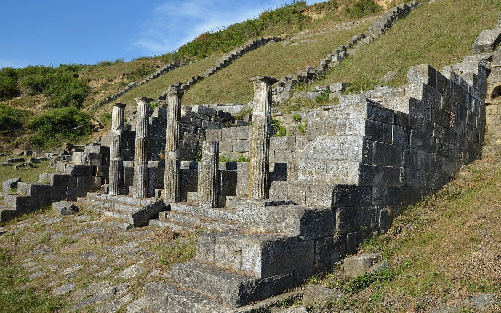
The Greeks knew it as Bouthroton, and the earliest substantial remains are Hellenistic — a theatre cut into the hillside in the third century BC, compact enough to be well preserved, its tiers of stone seating surviving into the present in recognisable form. The theatre is bracketed by sanctuaries, and inscriptions found on the site record the ritual manumission of enslaved people, the texts carved into the sanctuary walls in sufficient number to constitute one of the more significant epigraphic archives from the Greek world of this coast.
- 7th century BC onwardGreek settlement, early sanctuary activity
- 3rd century BCHellenistic theatre constructed
- 2nd century BCRoman absorption; later Augustan veteran colony established
- 5th–6th century ADBaptistery built; mosaic floor laid
- 1386Venice acquires Butrint
- 1920s–1930sUgolini-led Italian excavations establish the stratigraphic sequence
- 1990sNational park created around the site and lake
02Rome, Venice, and the water's slow return
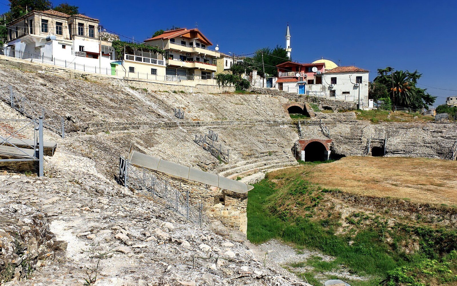
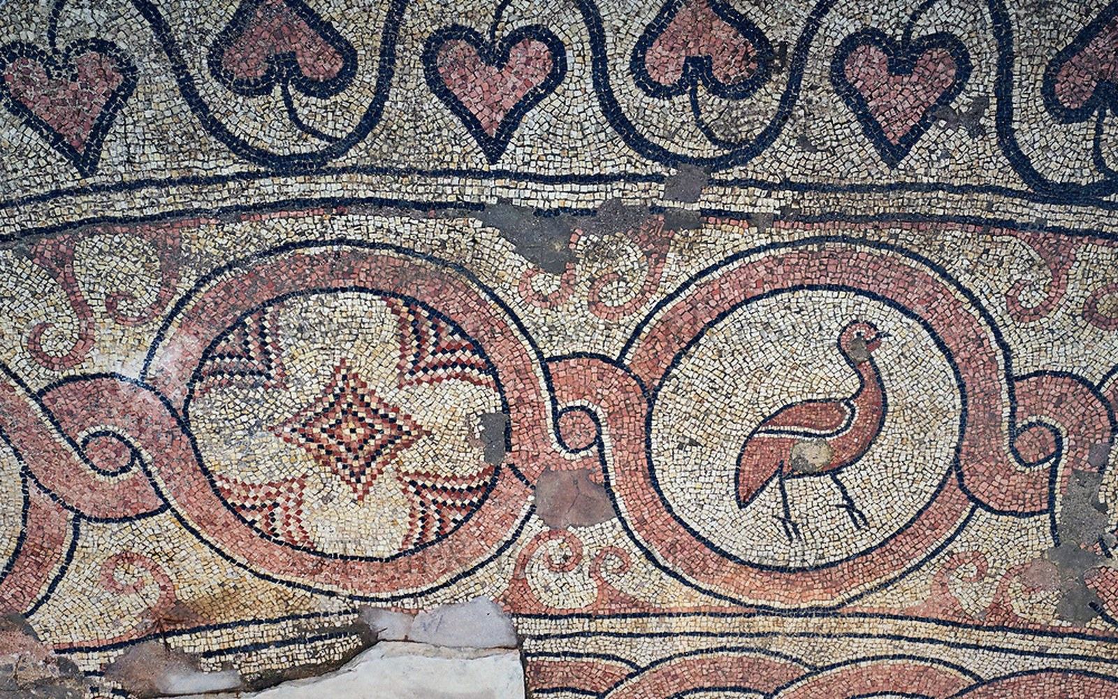
Rome absorbed Bouthroton in the second century BC. Julius Caesar planned a veteran colony here; it was Augustus who carried that out, and the settlement that followed was planned and substantial. A forum, an aqueduct, a baptistery, public baths and a triumphal arch all went up in the Roman centuries, and the baptistery — probably fifth or sixth century in its final form — preserves a mosaic floor of unusual richness, geometric and figurative panels running to a quality that marks it as a building of some civic ambition. Water and the slow subsidence of the ground have governed what survives. The site lies near sea level, much of it at or below it, and the Roman and late antique layers are partly submerged. To excavate here is also to pump.
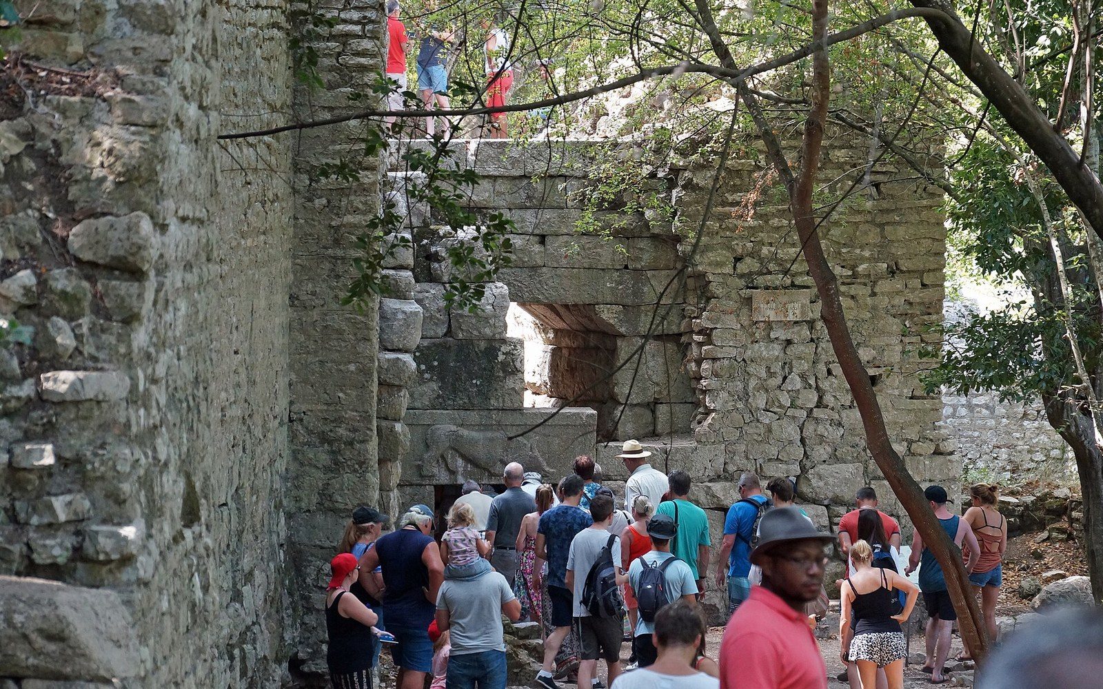
Byzantine occupation followed the Roman, then the Normans held it briefly, and by the thirteenth century Butrint was passing between the various regional powers that divided the Albanian and Epirote coast. Venice acquired it in 1386 and held it, with interruptions, until 1797. The Venetians were interested in the channel as a naval anchorage and a defensive position, and they built accordingly: a triangular castle at the water's edge, later a lion of St Mark above the gate, the whole installation oriented toward the strait rather than toward the hill. The castle remains the most visible structure from the water today.
The water, the reed beds and the low light of the channel are as much Butrint as the stonework.
The Ottomans took Butrint twice, in the later fifteenth and again in the sixteenth century, but the site's importance as a strategic post faded as the Vivari Channel silted and the anchorage became less useful. Thereafter Butrint contracted. By the nineteenth century it was largely abandoned, the remains subsiding into reed and water, which is what preserved them — the same dynamic that erases wood and mudbrick conserves dressed stone when the ground around it is wet enough to exclude air. Luigi Maria Ugolini led the first systematic excavations in the 1920s and 1930s under Italian auspices, establishing the basic sequence that later campaigns have refined.
What the site now presents is stratigraphy made visible: Greek walls below Roman pavements, a Roman gate incorporated into a Byzantine fortification, Venetian brickwork patching Hellenistic ashlar. The theatre has been used for performances in recent decades, which gives a sense of its acoustics and its scale. The baptistery mosaic is under a protective shelter — the floor is real and in place, which is rarer than it sounds for a pavement of that period and complexity. The surrounding national park, created in the 1990s, includes the lake, the channel and the coastal lagoon system, so the landscape the buildings occupy has not been built over. The water, the reed beds and the low light of the channel are as much Butrint as the stonework.
- Theatrecut into the hillside, seating largely intact
- Baptisterymosaic floor in situ under protective shelter
- Venetian castletriangular, at the channel edge, lion of St Mark above gate
- Roman aqueduct, forum and bath tracespartly submerged at low levels
- Sanctuary inscription archivemanumission texts carved into walls