Gjirokastër
A stone city in a narrow valley: the houses are fortifications, the roofs are geology, and the slope is the plan.
- Entry
- E.1
- Where
- Drino valley
- Period
- Ottoman, seventeenth century onward
- Section
- Bazaar Towns
01The Valley and the Slope
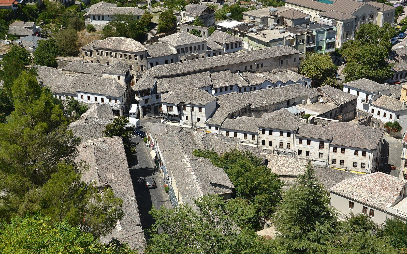
Gjirokastër sits in the Drino valley in southern Albania, a long limestone trough running roughly north to south between mountain flanks. The town climbs the eastern side of that valley on a spur below a castle, and the gradient is not incidental to the architecture — it is the architecture. Each house needed to see over the one below it, and the city's famous silhouette, slate roof above slate roof receding uphill, is the accumulated answer to that single requirement.
The castle above the town is substantially Ottoman, though the site is older. Below it, the residential quarter known as the kalaja — the upper city — developed its characteristic form through the seventeenth and eighteenth centuries, when Gjirokastër was a prosperous market town on routes connecting the Adriatic coast with the interior. The road east had its logic, and so did every feeder road that ran down from the mountain passes to link a valley town with the coast at Vlorë or Sarandë.
- Ground floor to çardak: what each level does, in schematic form
- Ground floor to çardak: the ground floor holds storage, cisterns and stables, the middle floors hold the living and reception rooms, and the çardak, an open gallery at the top, gives light and air.
02The Houses as a Building Type
What makes Gjirokastër distinctive, and what earned it UNESCO listing in 2005, later joined by Berat in an extended inscription, is not any single monument but a coherent domestic building type repeated across the slope in enough numbers to constitute a cityscape. These are the kulla-influenced stone tower-houses of the southern variant: not the tall single towers of the northern mountains, but broad, multi-storey compounds organized vertically so that the ground floor is fortress and the upper floors are home.
The ground floor — and sometimes the first — has walls of coursed limestone up to a metre thick, with few and small openings. There is no welcoming entrance at street level; instead, an external stair climbs to the main door, set well above the ground and protected by the projection of the floor above. The logic is defensive: during the prolonged periods of inter-family rivalry and Ottoman-era insecurity, a household that could bar its upper door and present blank stone below was a household that could hold out.
The interior woodwork is often elaborate: painted ceilings, built-in storage niches, a fireplace hood with plaster decoration.
The living floors above invert this severity. Large windows, sometimes a continuous run of them in a projecting upper room called the çardak — a timber-framed gallery or veranda enclosed with glazing — gather light and air and look down across the valley. The interior woodwork is often elaborate: painted ceilings, built-in storage niches, a fireplace hood with plaster decoration. The contrast between the blind lower walls and the open upper storey is not incidental; it is the whole point of the section.
The roofs of slate that cover these houses are cut from the same limestone belt that underlies the region. Split stone laid in diminishing courses from eave to ridge, heavy enough that the roof structure — close-set timber rafters with minimal span — was designed specifically to carry it. In the light of the Drino valley these roofs shift between silver and blue-grey, which is why the town is sometimes called the city of stone, qyteti i gurtë.
03The Bazaar Quarter and the Castle
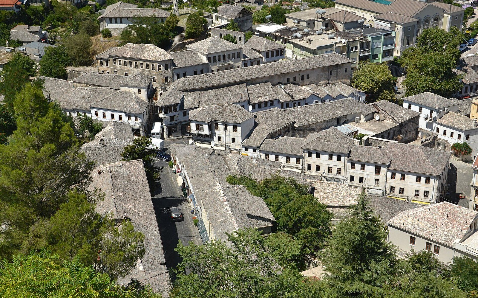
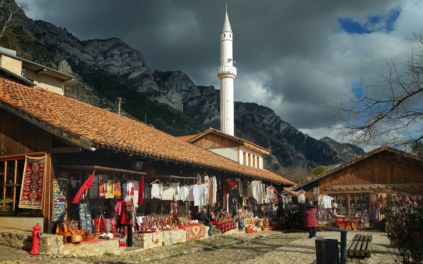
Below the residential slope, the bazaar street occupied the lower ground, its lock-up shopfronts, hans and workshops following the same Ottoman commercial plan found across the region. That fabric is less intact than the residential quarter above, but the spatial relationship — market at the valley floor, fortified housing on the spur, castle on the crest — remained constant for centuries and can still be read in the topography.
The castle itself is now a military museum, partly because heavy weaponry was stored and displayed there during the twentieth century. Inside the walls, a captured American aircraft from the mid-century conflict remains on display — an incongruity that says as much about the twentieth century as the walls say about the seventeenth.
The residential quarter contains several houses open as museums, of which the Skënduli and Zekate houses are the most complete examples of the type. The Zekate house, built in the early nineteenth century, shows the full vertical section clearly: blind lower floors, wide-windowed upper rooms with painted decoration, and a roof terrace from which the extent of the slate cityscape is plainest.
- Pre-Ottoman settlement on the castle spur
- Seventeenth–eighteenth centurydevelopment of the residential quarter and bazaar in its current form
- 2005UNESCO World Heritage listing alongside Berat